
Work / Corridor ground and engineering intelligence
Corridor ground and engineering intelligence
Engineering-ground conditions organised along infrastructure alignments so design, access and field priorities can be understood before teams mobilise.
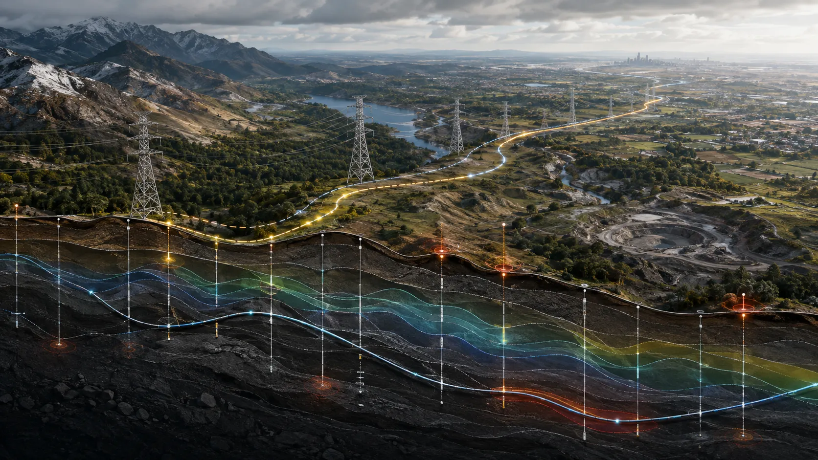
A closer view of the spatial output.
Project visuals are anonymised and framed around the decision they support.
Context
Linear infrastructure teams must make connected decisions across changing terrain, ground conditions, access constraints and field observations. Conventional documents often separate those signals, making it difficult to see how conditions change along the alignment.
Objective
Create a coherent corridor view that helps engineering and delivery teams recognise materially different ground conditions, focus investigation and carry spatial evidence into design and field coordination.
Problem addressed
Soil and terrain information needed to be translated into an alignment-led view. The client required an output that could be read by engineering, planning and field teams without exposing the underlying analytical workflow.
Delivered intelligence
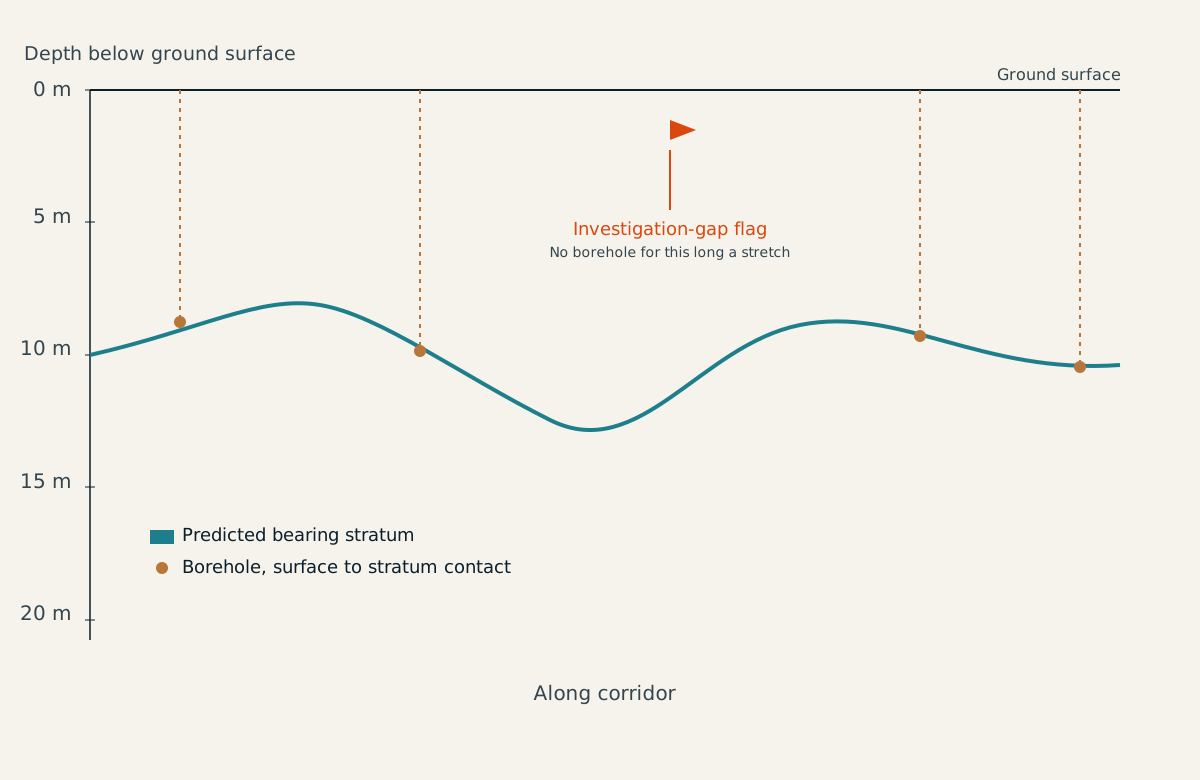
- Engineering-soil profiles aligned to the corridor
- Ground-condition and terrain themes
- Borehole and field-observation context
- Investigation-gap and inspection-priority views
- GIS-ready layers and field map packages
Outcome and practical value
The delivery brings dispersed ground evidence into one spatial narrative. Teams can identify transitions, coordinate field attention and discuss design implications against a common corridor reference.
Scalable use
The same delivery structure can support transmission, rail, road, fibre and other linear assets, with outputs shaped to the engineering question and operating workflow.
All deliverables are produced and quality-assured to industry standards and have been accepted by our clients.
Bring us the decision. We will shape the spatial intelligence around it.
Start with a focused conversation about the outcome, the users and the evidence already available.