
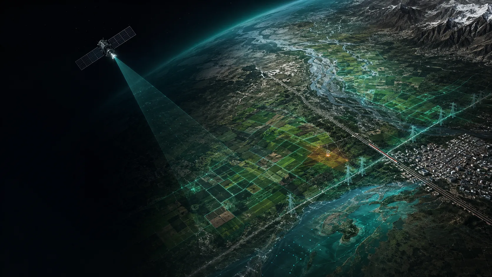
See the pattern.
Act with foresight.
We turn earth observation and spatial data into clear, dependable intelligence for land, crops, water, climate, infrastructure and cities.
Spatial evidence made relevant to the decision.
We unite earth observation, GeoAI, machine learning, domain science and spatial engineering to reveal change, exposure and opportunity—then deliver that intelligence in forms that teams can use, scale and sustain.
Versatility on one spatial foundation.
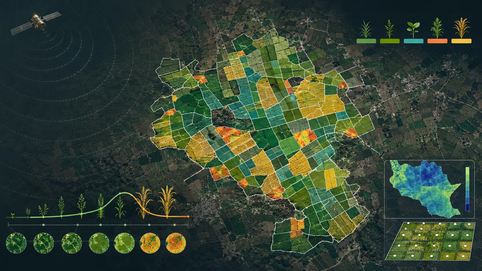
Agriculture & land intelligence
Parcel intelligence, soil and land-resource evidence, suitability and advisory products built for operational use.
Explore capability →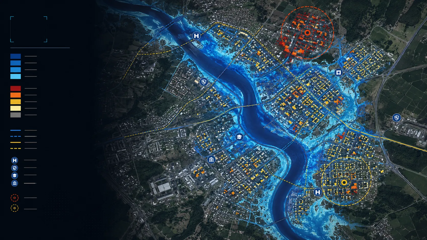
Climate & water intelligence
Flood, waterlogging, water adequacy, heat and asset-risk intelligence for programmes, portfolios and places.
Explore capability →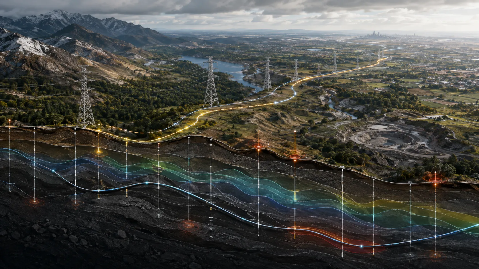
Infrastructure intelligence
Corridor monitoring, engineering-ground intelligence and inspection prioritisation for infrastructure owners and delivery teams.
Explore capability →
Urban & location intelligence
Building, neighbourhood and location intelligence that supports planning, site selection and real-asset decisions.
Explore capability →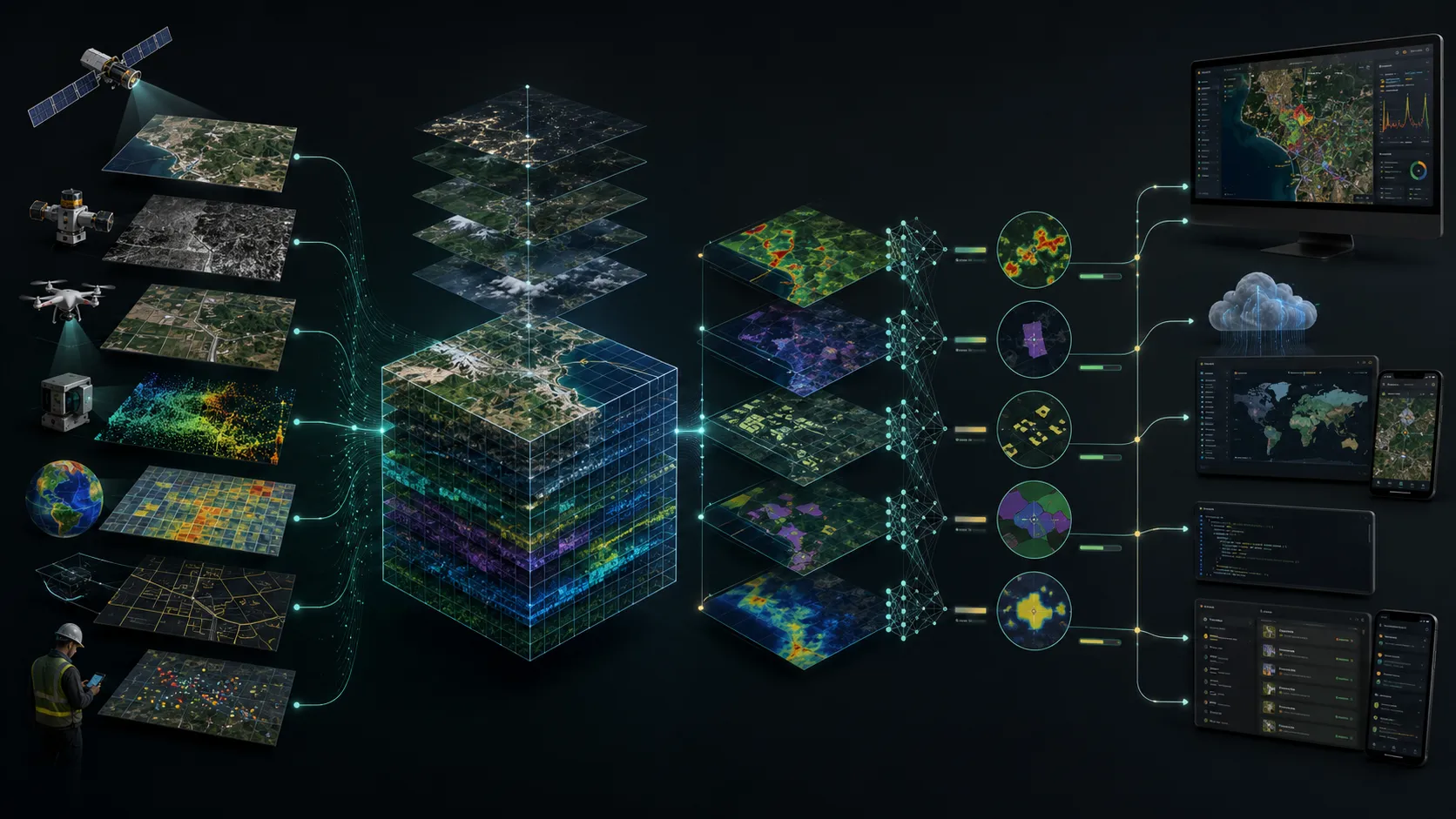
Spatial platforms & data engineering
Cloud-ready spatial data, dashboards, map services and APIs that make intelligence usable across an organisation.
Explore capability →Built to be used beyond the map.
Our work can arrive as a map, a spatial data product, an advisory, a dashboard or an integrated service—shaped around the client’s operating context and ready to scale from one decision to an ongoing programme.
Delivered intelligence, shown through the output.
Parcel-scale crop intelligence through the monsoon
Seasonal crop identification, sown area, yield, stress, water adequacy, suitability and advisory intelligence connected to farm parcels.
Read the case → Urban heat-risk intelligence
City-wide heat intelligence that brings hazard, exposure and vulnerability together for cooling, planning and neighbourhood-priority decisions.
Read the case →
Building and access flood-risk intelligence
Building and road-access risk mapped for real-asset owners, so portfolio exposure is visible before an event and actionable at asset level.
Read the case →All deliverables are produced and quality-assured to industry standards and have been accepted by our clients.
Different sectors. The same need for clearer evidence.
Bring us the decision. We will shape the spatial intelligence around it.
Start with a focused conversation about the outcome, the users and the evidence already available.