
Sectors / Infrastructure & EPC
Infrastructure & EPC
Corridor-scale intelligence for long linear assets.
- What changed along the corridor?
- Where will the ground be difficult?
- Which sites need inspection first?
What we bring

Climate & water risk
Flood, waterlogging and heat, mapped where decisions are made
Explore →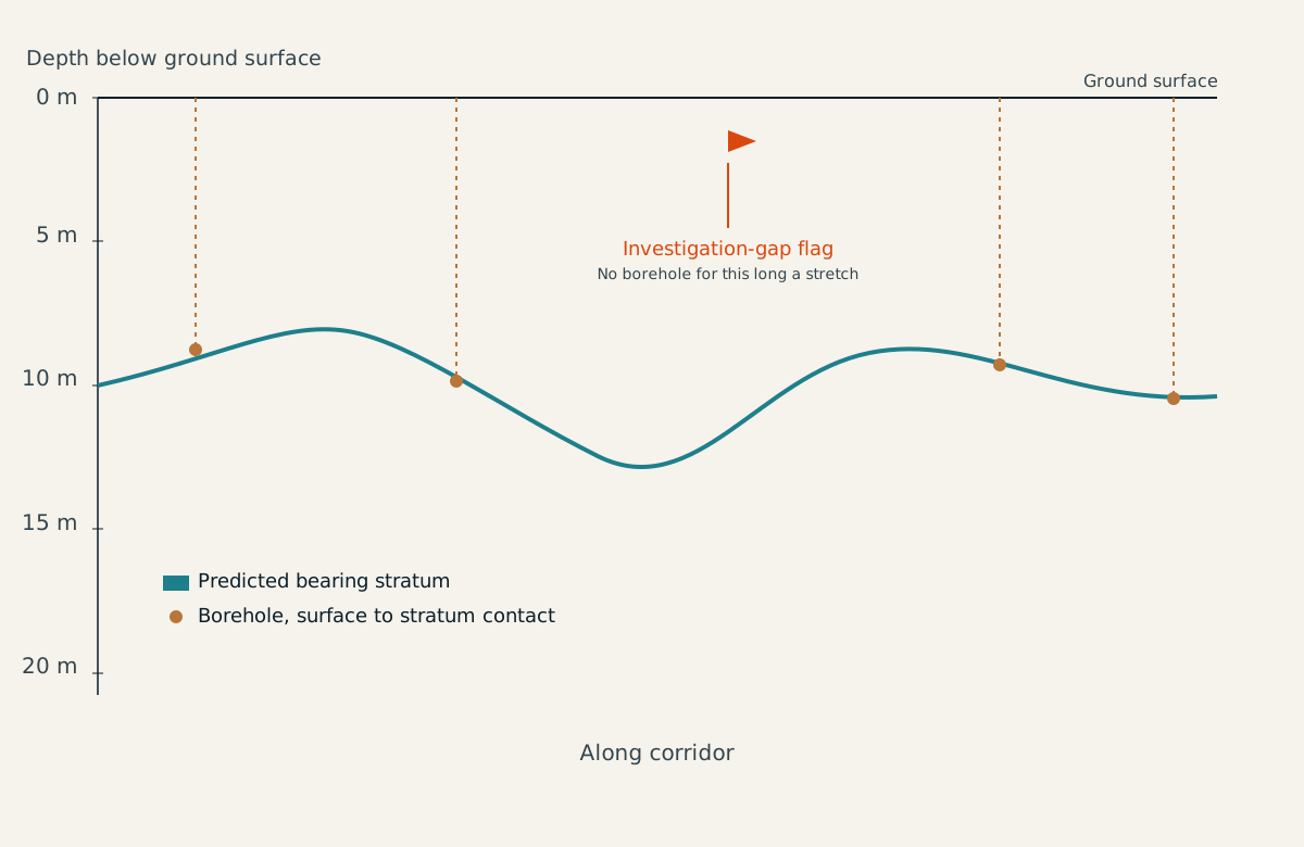
Infrastructure intelligence
Corridor intelligence before ground is broken
Explore →
Urban & location intelligence
Building footprints and site selection
Explore →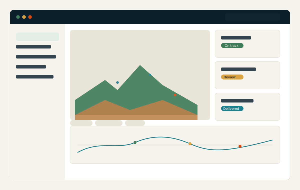
Platforms & spatial data engineering
From one-off maps to refreshed services
Explore →Delivered for this sector
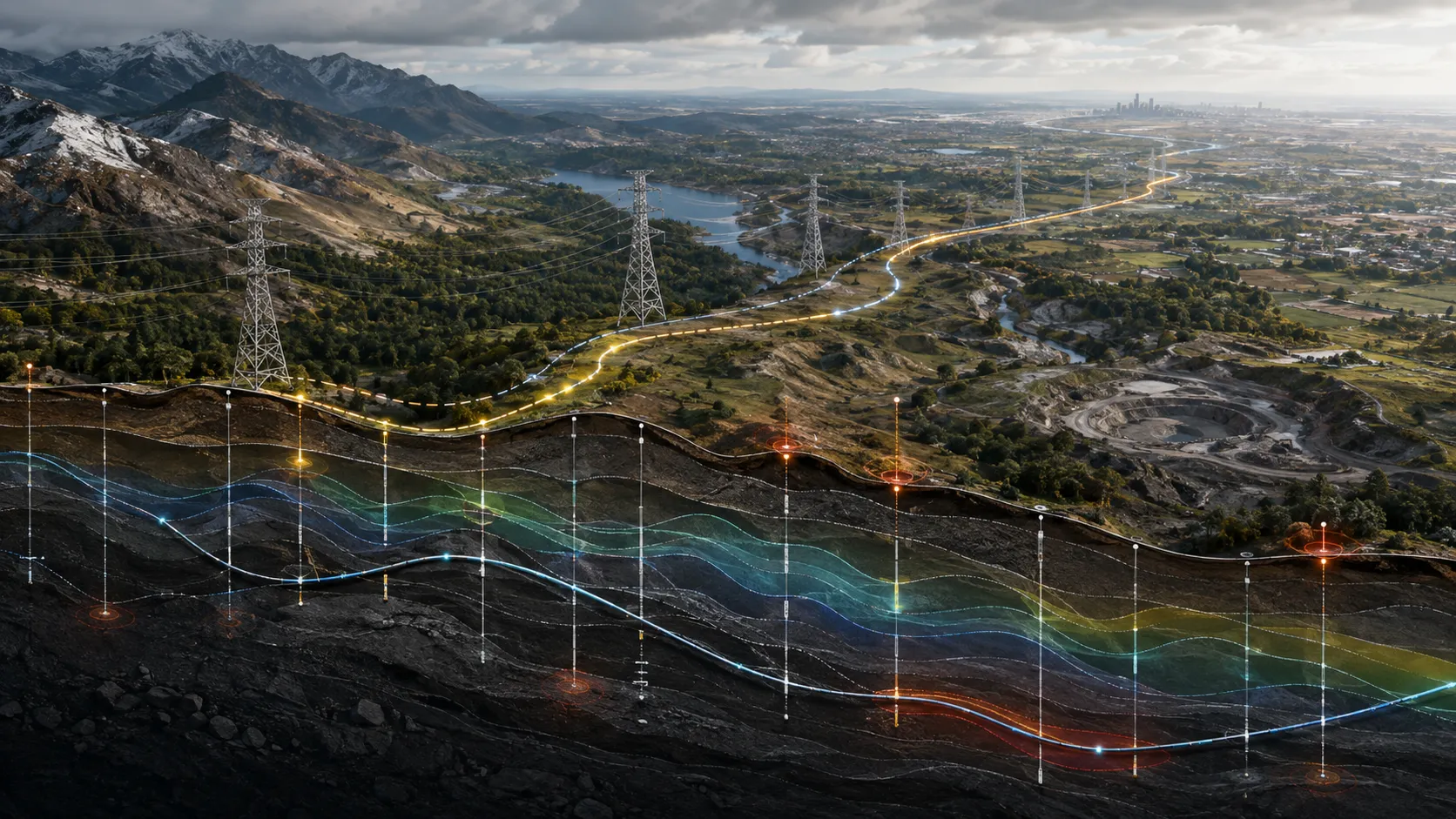
Corridor ground and engineering intelligence
Engineering-ground conditions organised along infrastructure alignments so design, access and field priorities can be understood before teams mobilise.
Read the case →
Building and access flood-risk intelligence
Building and road-access risk mapped for real-asset owners, so portfolio exposure is visible before an event and actionable at asset level.
Read the case →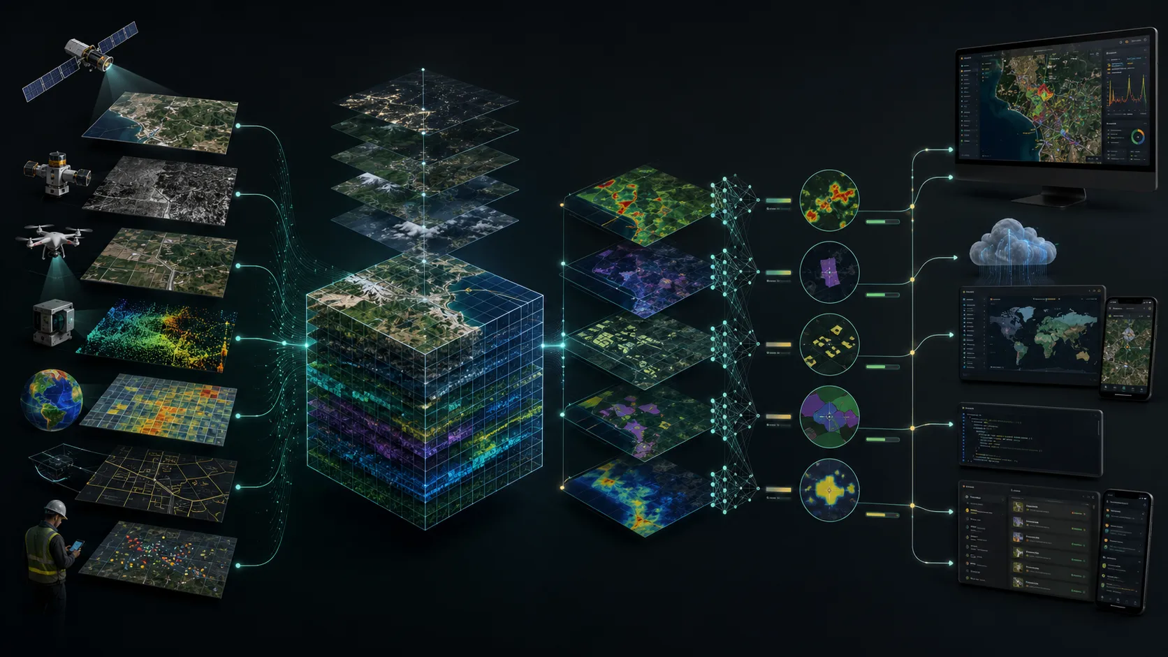
Spatial platforms and data delivery
Spatial data, dashboards and services organised as dependable operational products rather than isolated analytical outputs.
Read the case →Bring us the decision. We will shape the spatial intelligence around it.
Start with a focused conversation about the outcome, the users and the evidence already available.