
Work / Spatial platforms and data delivery
Spatial platforms and data delivery
Spatial data, dashboards and services organised as dependable operational products rather than isolated analytical outputs.
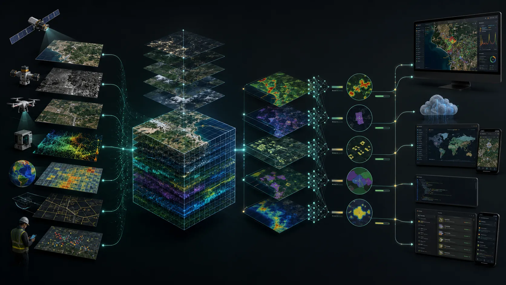
A closer view of the spatial output.
Project visuals are anonymised and framed around the decision they support.
Context
Spatial intelligence creates greater value when analysts, managers and field teams can reach the same current evidence in forms suited to their roles. A standalone map is rarely enough for recurring decisions.
Objective
Turn project outputs into an accessible delivery environment that supports exploration, prioritisation, reporting and exchange with existing client systems.
Problem addressed
The client needed diverse raster, vector, tabular and document outputs to behave as one coherent information product. The experience also had to remain clear for non-specialist users while preserving depth for spatial teams.
Delivered intelligence
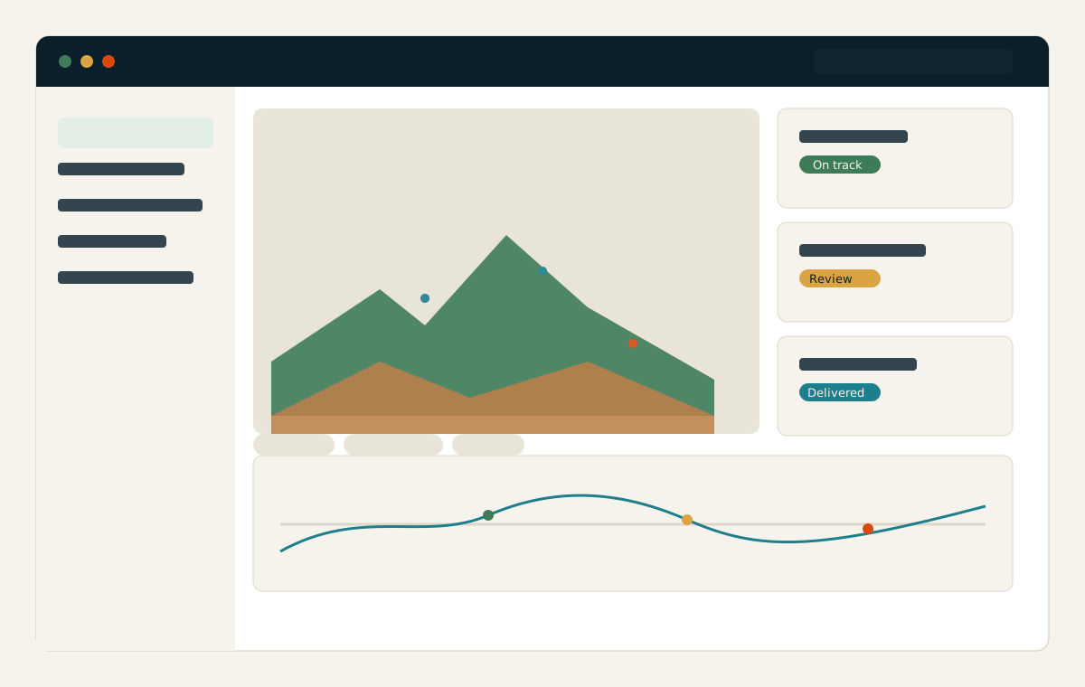
- Role-focused spatial dashboards
- Searchable map and data views
- Interoperable spatial data products
- Map, tile and data services
- APIs and system-integration support
- Managed refresh and delivery workflows
Outcome and practical value
Teams move from finding files to using evidence. The platform layer creates a shared operational view, reduces friction between technical and programme users and makes geospatial intelligence available where decisions are already made.
Scalable use
The architecture supports growth across geographies, themes and user groups, allowing a focused project to evolve into a sustained spatial-intelligence service.
All deliverables are produced and quality-assured to industry standards and have been accepted by our clients.
Bring us the decision. We will shape the spatial intelligence around it.
Start with a focused conversation about the outcome, the users and the evidence already available.