
Work / Parcel-scale crop intelligence through the monsoon
Parcel-scale crop intelligence through the monsoon
Seasonal crop identification, sown area, yield, stress, water adequacy, suitability and advisory intelligence connected to farm parcels.
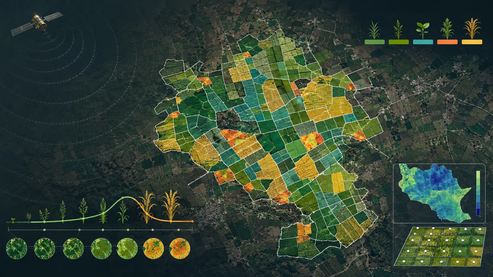
A closer view of the spatial output.
Project visuals are anonymised and framed around the decision they support.

Context and objective
A climate-resilient agriculture programme needed to know what was growing on individual farm parcels and how conditions were changing through the season, including periods of persistent cloud.
The objective was to create one operational parcel view connecting crop identity, condition, water and advisory decisions across programme and field teams.
Delivered intelligence
- Crop and intercrop identification
- Sown-area intelligence
- Yield intelligence
- Crop health and stress monitoring
- Water-adequacy views
- Suitability and seasonal advisories
- GIS, data-service and dashboard outputs
Outcome
The parcel becomes a shared unit for crop, water and advisory decisions. Programme teams can move between a broad seasonal picture and the individual fields that need attention, while downstream systems receive structured spatial outputs.
Practical value and scalable use
The approach was designed to perform reliably in new geographies and seasons. The same parcel structure supports programme monitoring, insurance review, aggregation planning and field advisory while keeping the technical implementation protected.
All deliverables are produced and quality-assured to industry standards and have been accepted by our clients.
Bring us the decision. We will shape the spatial intelligence around it.
Start with a focused conversation about the outcome, the users and the evidence already available.