
Sectors / Insurance & finance
Insurance & finance
Parcel and asset intelligence that underwrites risk with evidence.
- Is this crop insurable on this parcel?
- Which assets sit in the flood extent?
- How fast can a claim be verified?


Delivered for this sector
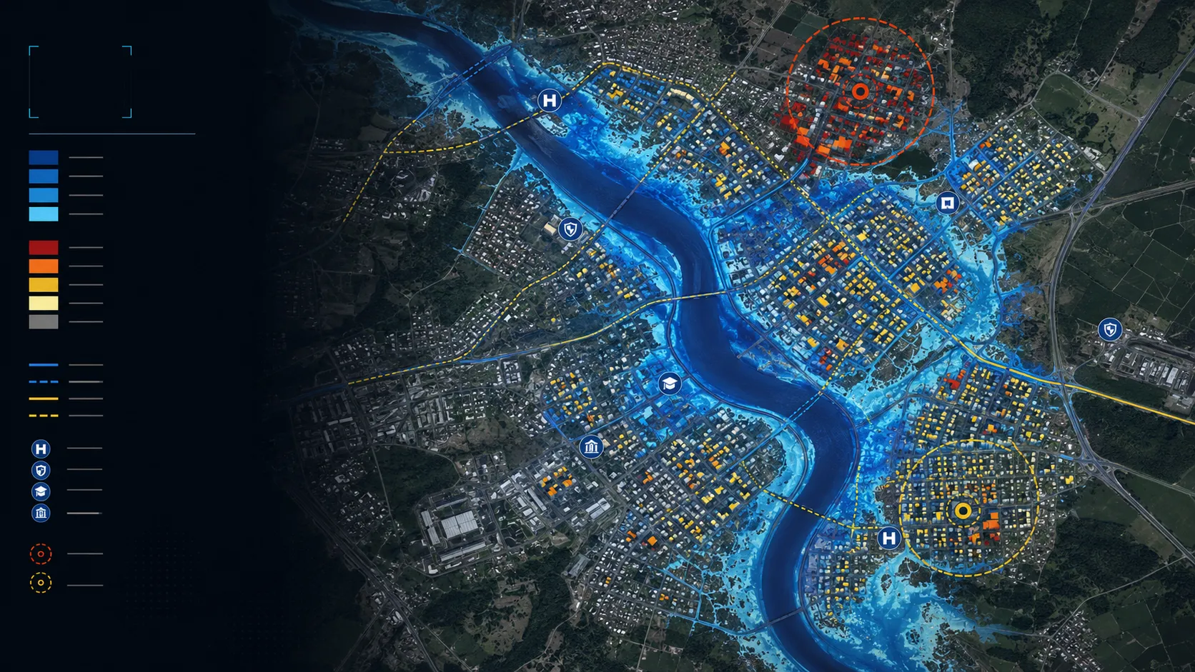
Cropland flood-extent intelligence
Flood extent mapped across cropland during active monsoon conditions, with parcel context retained for response, assessment and recovery decisions.
Read the case →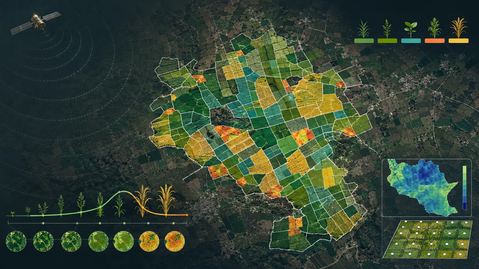
Parcel-scale crop intelligence through the monsoon
Seasonal crop identification, sown area, yield, stress, water adequacy, suitability and advisory intelligence connected to farm parcels.
Read the case →
Building and access flood-risk intelligence
Building and road-access risk mapped for real-asset owners, so portfolio exposure is visible before an event and actionable at asset level.
Read the case →
Spatial platforms and data delivery
Spatial data, dashboards and services organised as dependable operational products rather than isolated analytical outputs.
Read the case →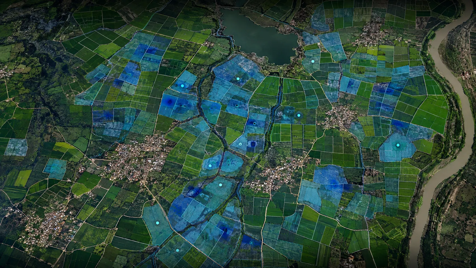
Parcel-level waterlogging susceptibility
Waterlogging susceptibility mapped at parcel scale for drainage, crop advisory and agricultural-risk decisions.
Read the case →Bring us the decision. We will shape the spatial intelligence around it.
Start with a focused conversation about the outcome, the users and the evidence already available.