
Sectors / Government & programmes
Government & programmes
Programme-scale evidence for agriculture, land and climate decisions.
- Do we know what is grown, and where?
- Which areas need support first?
- Is the programme reaching every parcel?
What we bring

Crop & parcel intelligence
Parcel-level crop intelligence through the monsoon
Explore →
Digital soil mapping & land inventory
Digital soil maps at field scale
Explore →
Crop suitability & water adequacy
Suitability and weekly water adequacy for every parcel
Explore →
Climate & water risk
Flood, waterlogging and heat, mapped where decisions are made
Explore →
Platforms & spatial data engineering
From one-off maps to refreshed services
Explore →Delivered for this sector
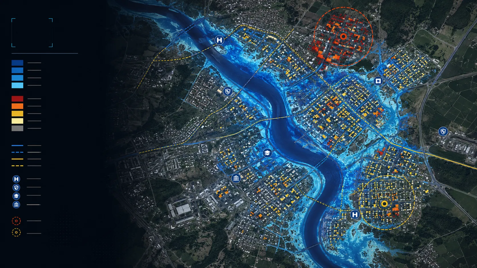
Cropland flood-extent intelligence
Flood extent mapped across cropland during active monsoon conditions, with parcel context retained for response, assessment and recovery decisions.
Read the case →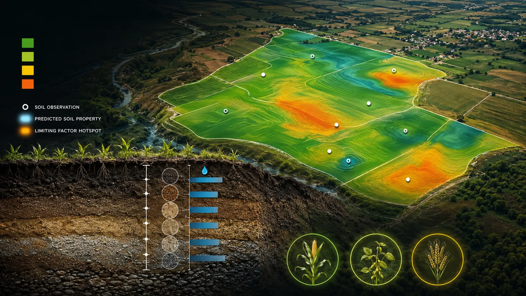
Land resource inventory and soil intelligence
Wall-to-wall soil and land-resource intelligence prepared as a coherent geodatabase for planning, advisory and programme decisions.
Read the case → Parcel-level crop suitability and advisory
Crop suitability expressed parcel by parcel, with the limiting condition and a practical management response kept visible for each decision.
Read the case →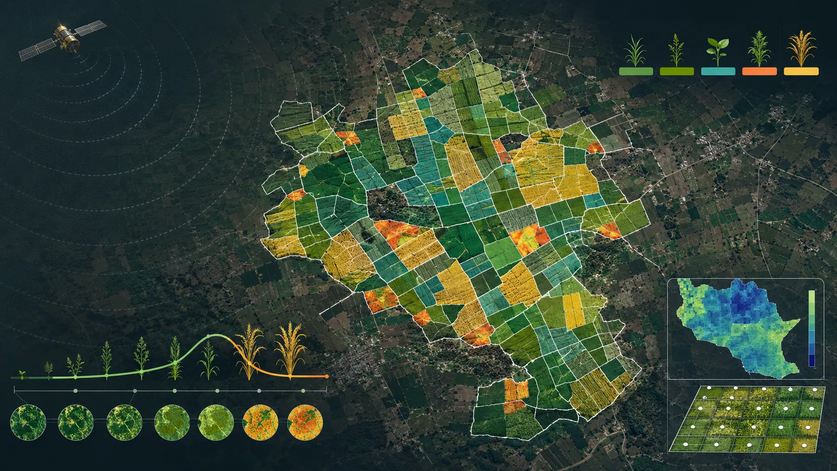
Parcel-scale crop intelligence through the monsoon
Seasonal crop identification, sown area, yield, stress, water adequacy, suitability and advisory intelligence connected to farm parcels.
Read the case →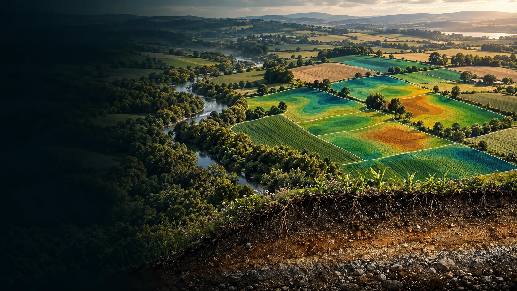
Soil organic carbon stock and change intelligence
State-scale soil-organic-carbon stock and change products for natural-capital, sustainability and land-management decisions.
Read the case →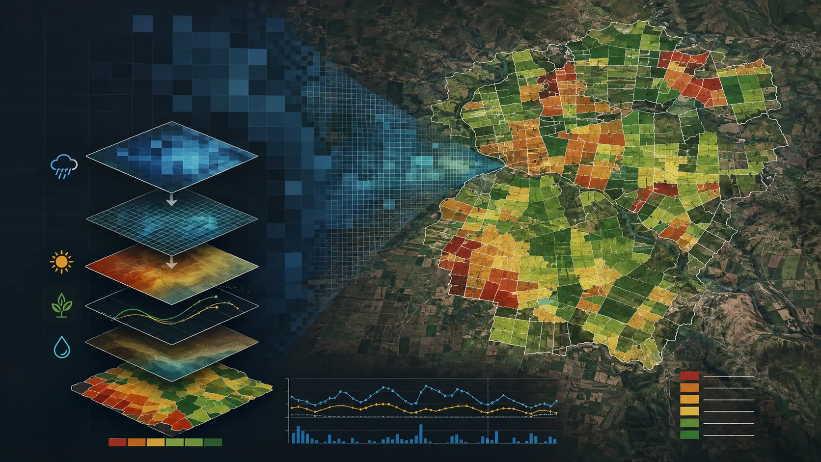
Weekly water-adequacy intelligence
Weekly water adequacy brought to the parcel scale so emerging crop stress can be understood in time for programme and field action.
Read the case →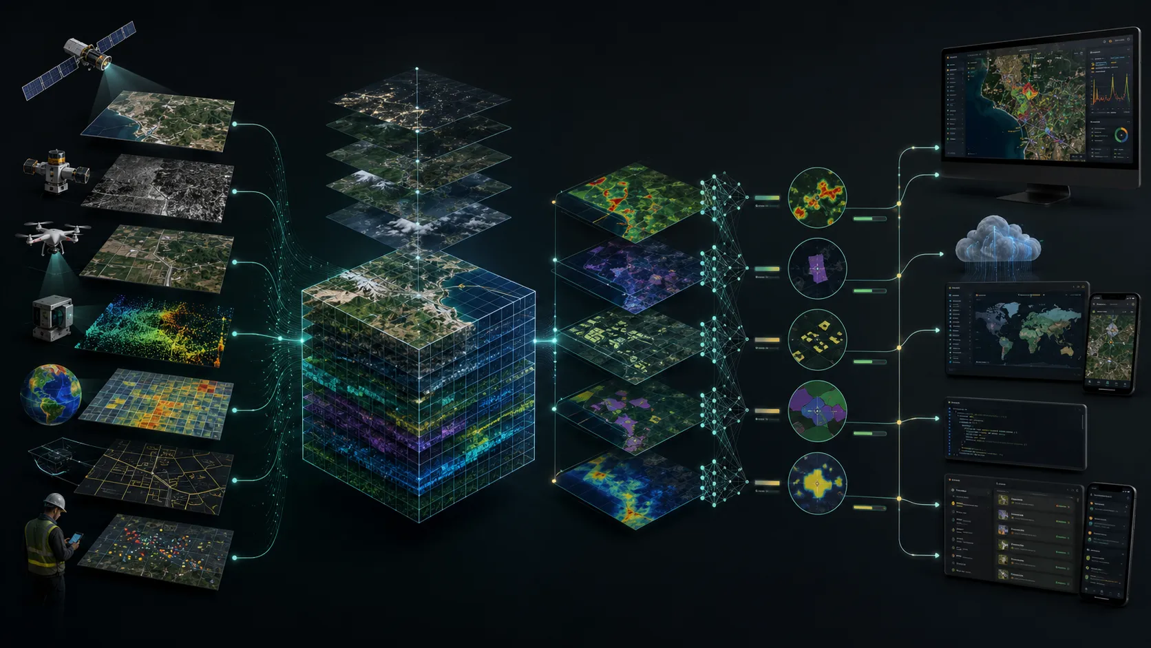
Spatial platforms and data delivery
Spatial data, dashboards and services organised as dependable operational products rather than isolated analytical outputs.
Read the case →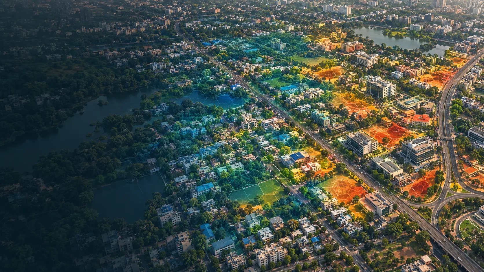
Urban heat-risk intelligence
City-wide heat intelligence that brings hazard, exposure and vulnerability together for cooling, planning and neighbourhood-priority decisions.
Read the case →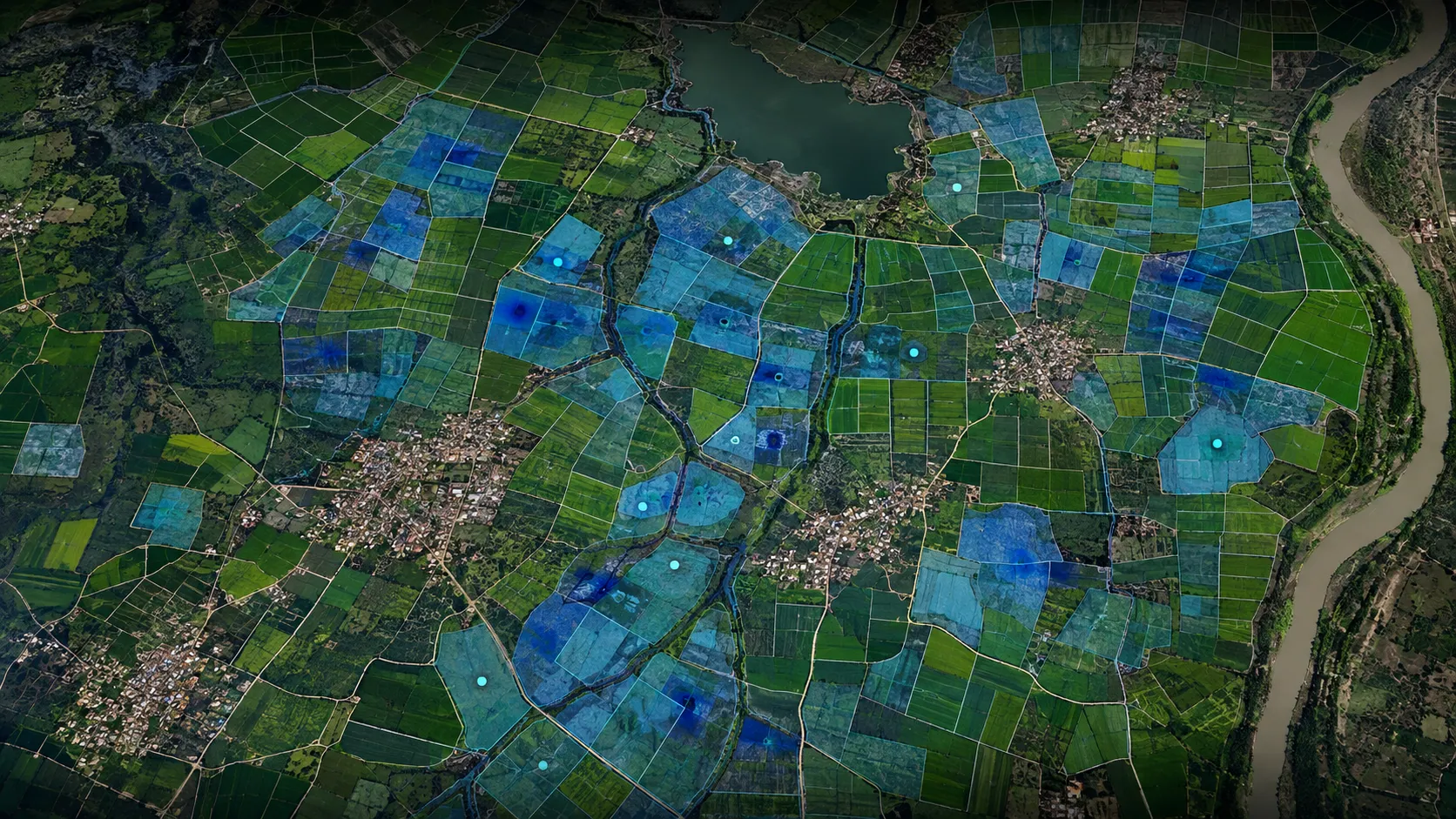
Parcel-level waterlogging susceptibility
Waterlogging susceptibility mapped at parcel scale for drainage, crop advisory and agricultural-risk decisions.
Read the case →Bring us the decision. We will shape the spatial intelligence around it.
Start with a focused conversation about the outcome, the users and the evidence already available.