
Work / Parcel-level waterlogging susceptibility
Parcel-level waterlogging susceptibility
Waterlogging susceptibility mapped at parcel scale for drainage, crop advisory and agricultural-risk decisions.
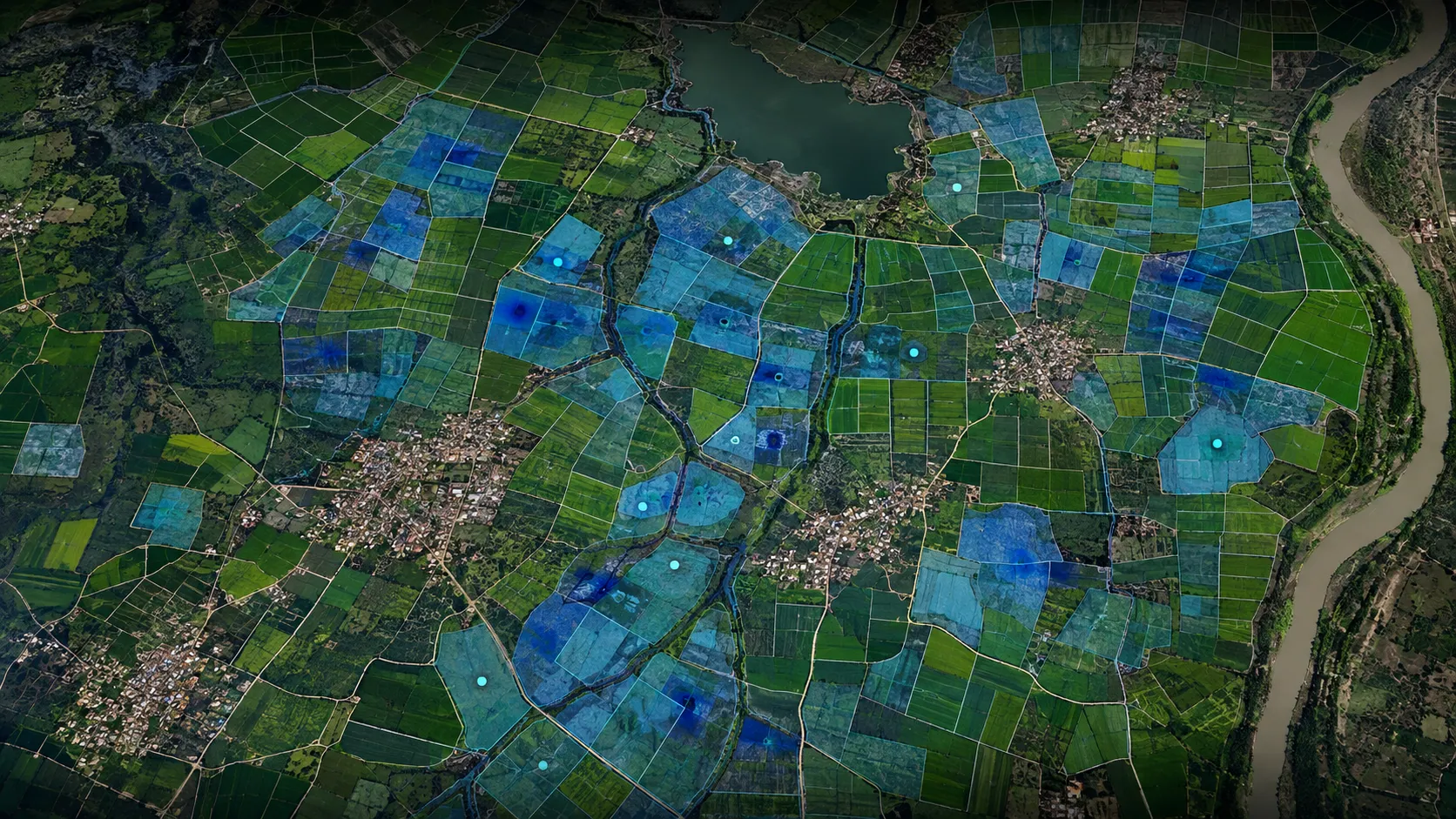
A closer view of the spatial output.
Project visuals are anonymised and framed around the decision they support.

Context and objective
Agriculture teams needed a consistent way to identify land where waterlogging can disrupt crop performance and where drainage or advisory attention should be prioritised.
The objective was to turn a complex land-and-water condition into a readable relative priority tied to the parcel and its practical response.
Delivered intelligence
- Parcel-level susceptibility classes
- Relative-priority maps
- Drainage and field-attention views
- GIS-ready layers for programme and risk workflows
Outcome
The output turns a complex land-and-water condition into a clear relative priority. Teams can distinguish lower and higher concern areas, connect them to parcels and plan field response alongside flood and crop-condition intelligence.
Practical value and scalable use
The map supports agriculture planning, drainage prioritisation, seasonal advisory and portfolio screening. The same decision framework can be applied across varied operating geographies without publishing the analytical recipe behind the classes.
All deliverables are produced and quality-assured to industry standards and have been accepted by our clients.
Bring us the decision. We will shape the spatial intelligence around it.
Start with a focused conversation about the outcome, the users and the evidence already available.